British Columbians brace for more extreme weather, possible flooding on north coast

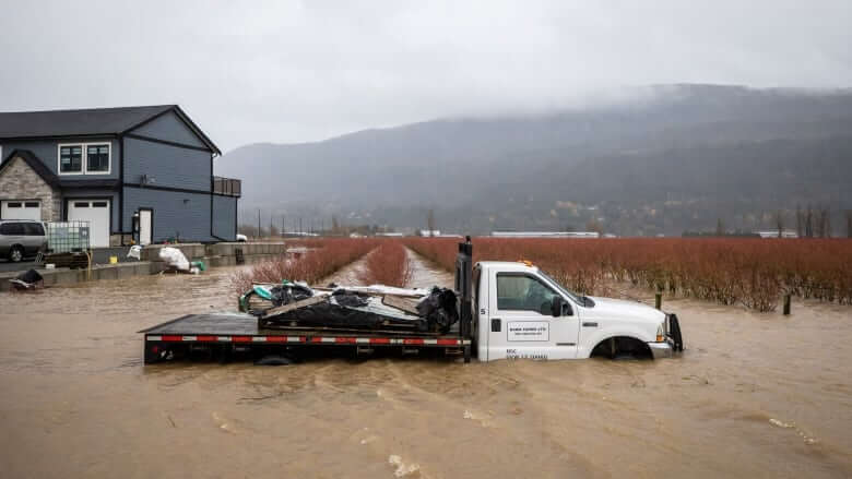
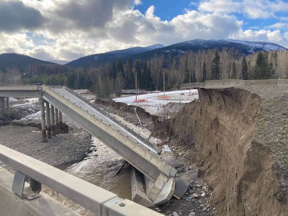
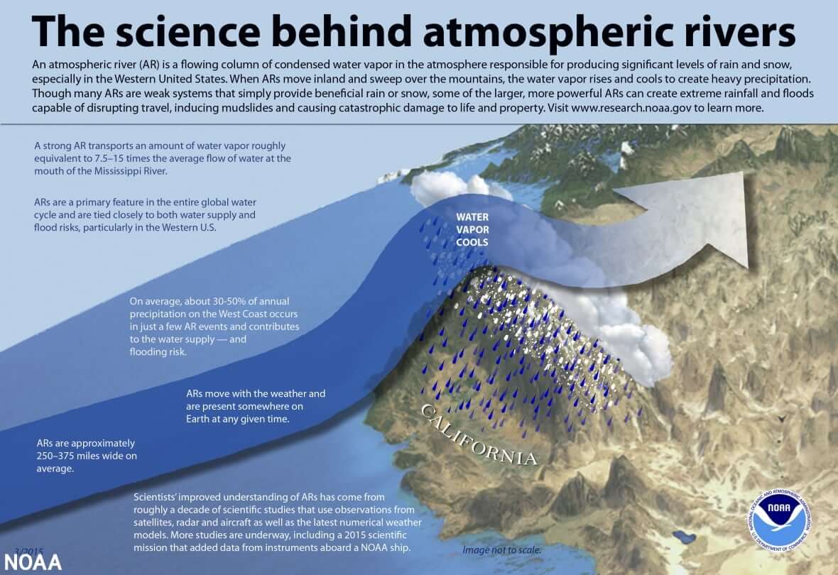
After an atmospheric river system caused extreme flooding and mudslides in southern British Columbia last week, government agencies are warning people to brace themselves for extreme weather that could cause chaos in other parts of the province Monday.
Environment and Climate Change Canada has issued a series of warnings and special weather statements for the northern half of the province, primarily for dangerously strong winds and snowfall.
There are also snowfall warnings for the Fraser Valley and Fraser Canyon, which has already been pummeled by relentless rain and impacted by highway closures.
An atmospheric river system that slammed the north coast over the weekend, bringing heavy rainfall, has also triggered a flood watch for Haida Gwaii, Prince Rupert, Kitimat, Hartley Bay, Kemano and surrounding areas.
A flood watch means river levels are rising and may exceed their banks and flood adjacent areas. A flood warning means that’s already happened.

The atmospheric river hit the region Saturday. According to the Ministry of Forests, Lands, Natural Resource Operations and Rural Development, that area could see up to 300 millimetres of rain by Monday night, with the highest amounts hitting the outer coast between Prince Rupert and Ocean Falls.
Residents asked to prepare for stormy weather
Snowmelt at low-to-mid elevations is expected to add to runoff and the ministry is advising people to stay clear of fast-flowing rivers and potentially unstable riverbanks.
The provincial government asked residents in these areas to prepare for stormy weather by clearing gutters on homes, checking nearby storm drains for blockages, storing valuables in water-tight containers in case of flooding and having an emergency plan.
A full list of recommendations from the province is listed here.

As engineers and road crews tackle the challenges of rebuilding sections of the Coquihalla Highway swept away by flood waters, Environment Canada has issued a snowfall warning for the exact stretch of affected road from Hope to Merritt.
Heavy snow is expected from Monday afternoon and could reach 30 centimetres by Tuesday afternoon when it is expected to lighten up.
The Ministry of Transportation and Infrastructure said extra crews and equipment are on standby, ready to respond as necessary with potential impacts from severe weather.
Road conditions can be checked at DriveBC.


Redes Sociais - Comentários